Geospatial identification of mini-grid potential in Ethiopia

Project description
In this project, funded by the World Bank, RLI identified and ranked locations for potential electrification with mini-grids in rural Ethiopia.
Mini-grids, sometimes called micro-grids or island grids, are locally delineated and self-contained power grids that supply electricity to multiple homes or businesses. They can be supplied by various fossil and renewable energy sources, such as photovoltaic (PV) systems, wind turbines, hydroelectric plants, or diesel generators. To ensure supply stability, a mini-grid often also includes battery storage.
Data collection for identifying settlements
The objective of this project was to collect and process geospatial datasets that identified settlements and facilities in rural Ethiopia, which are not (yet) connected to the national power grid. Given a certain distance to the national grid and settlement size, they are promising candidates for electrification with mini-grids. The data collected by RLI thus contained information on population characteristics, energy and transport infrastructure, educational and health facilities, agriculture and livestock systems. The datasets were intersected to identify and rank the most promising locations for mini-grid development in Ethiopia.
Off-grid electrification as a measure to battle energy poverty
The electrification rate in Ethiopia in 2020 was at around 50 percent, meaning that half of the population had no access to electricity. This concerned especially rural regions. For many of these rural sites, the most appropriate option for a quick supply with electric power is off-grid electrification, primarily using mini-grid technologies. The project is therefore making an important contribution to achieving the Sustainable Development Goal number 7 of the United Nations (SDG 7) to ensure universal access to affordable, reliable and modern energy services.
The projects builds upon recent experience that RLI has had with the identification of potential mini-grid sites in Mali, Zambia, Tanzania, and Nigeria using GIS methods and technologies.
Project duration: February – June 2021
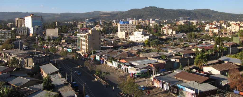
Image: neiljs, Addis Ababa, Ethiopia, cropped by RLI, CC BY-SA 2.0
Tasks
RLI assumed the following tasks in the project:
- Inventory of data and data sources, assessment of data quality and availability
- Review of high level outputs from existing geospatial tools like ESMAP’s Global Electrification Platform
- Identification of all relevant settlement and key infrastructure clusters for further analysis
- Calculation of population numbers based on the household data set
- Calculation of distance to grid for each cluster
- Selection of one pilot region within Ethiopia
- Further prioritization based on socio-economic characteristics, agricultural and other economic activities, settlement patterns, and regional demand patterns
- Development of a prioritization algorithm
- Suggestion of nationwide priority sites


