GIS Analyses
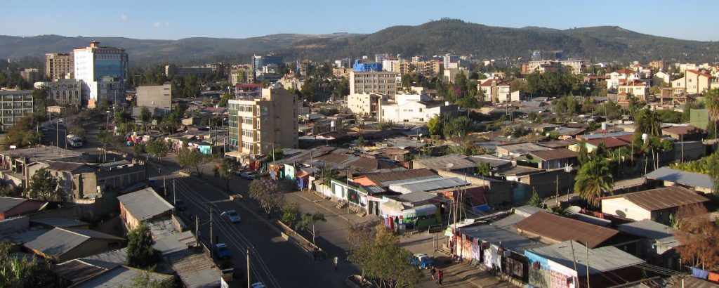
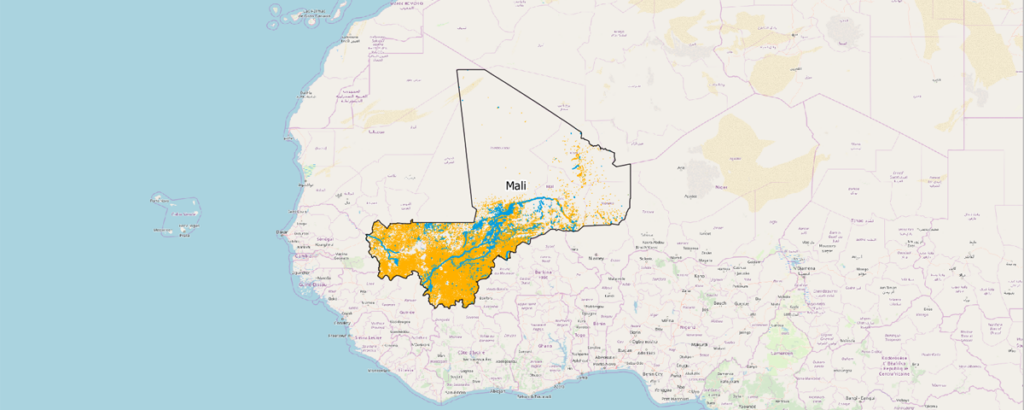
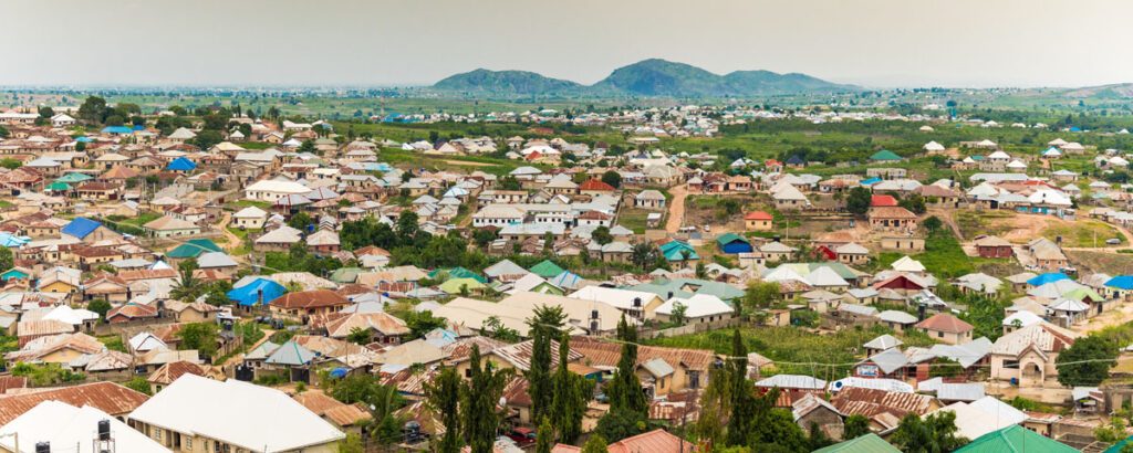
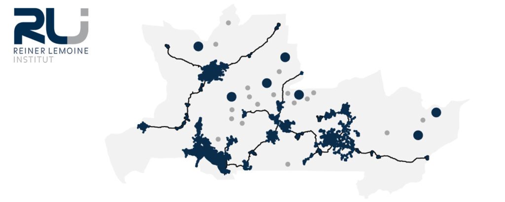
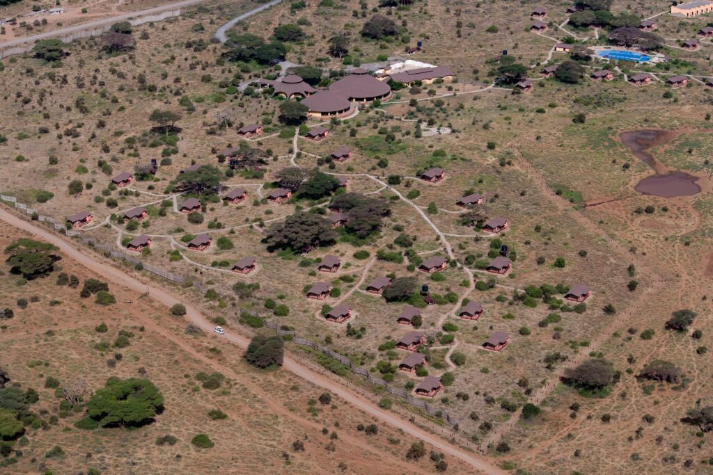
The term Geographic Information Systems (GIS) covers all tools and methods with which spatial data can be recorded, processed, and analyzed. GIS are important tools in the Off-Grid Unit at RLI. For example, we can use satellite images to identify settlements in rural areas and in this way plan network expansion or self-sufficient electrification. We use common open-source GIS tools, but also develop in-house solutions.
Contact
Example projects
GIS-based tool for Renewable Energy in agriculture
In this project, RLI has developed a geo-information tool for the Philippines that identifies the most promising sites to use renewable energy in the country’s agriculture. Various datasets are used for this purpose, including data on area settlement, energy infrastructure, and major crops. The Philippines are in the process of transforming from a developing country into an emerging economy. However, major challenges remain, particularly in the area of energy supply. Among the country’s particular challenges is the sustainable supply of…
