


GIS Analyses
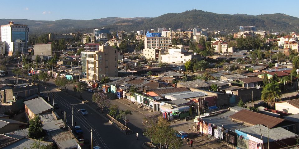
The term Geographic Information Systems (GIS) covers all tools and methods with which spatial data can be recorded, processed, and analyzed. GIS are important tools in the Off-Grid Unit at RLI. For example, we can use satellite images to identify settlements in rural areas and in this way plan network expansion or self-sufficient electrification. We use common open-source GIS tools, but also develop in-house solutions.


Evaluation of local resources
Analysis of existing energy infrastructure
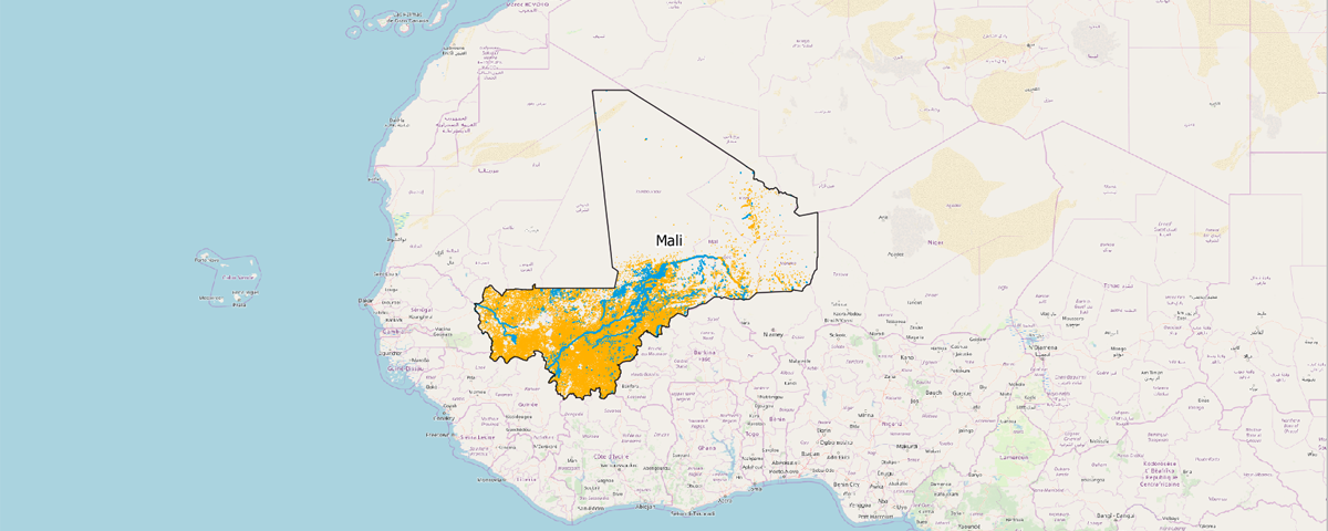
Use of satellite data
Survey of renewable energy potential
Use of satellite data
Survey of renewable energy potential

Data and database systems
Data collection
Data preparation and management
Use of open data records
Data preparation and management
Use of open data records

Tool development
Modelling of on- and off-grid electrification options
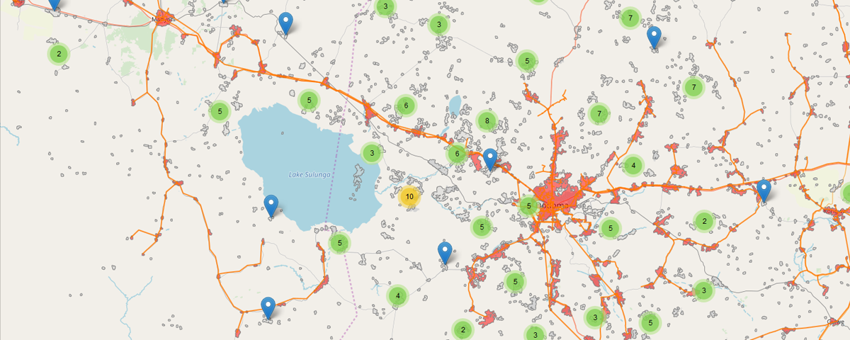
Visualization in web maps
Interactive applications
Least-cost electrification planning
Visualization in web maps
Interactive applications
Least-cost electrification planning