


GIS based analysis of project areas and customer tagging
2. October 2015
RLS Stipendiatentag
10. October 2015Rural electrification modelling in the framework of the Nigerian Energy Support Programme (NESP)
Nigeria is the most populous country in Africa (189 million) with impressive geographic and ethnic diversity. At the same time, Nigeria currently has the highest absolute number of people of any country in Africa without access to electricity. For 2016 the International Energy Agency estimated an electrification rate of only 34 percent in the rural areas. One of the greatest challenges of the country is therefore to provide sustainable energy supply to people in rural, often remote areas.
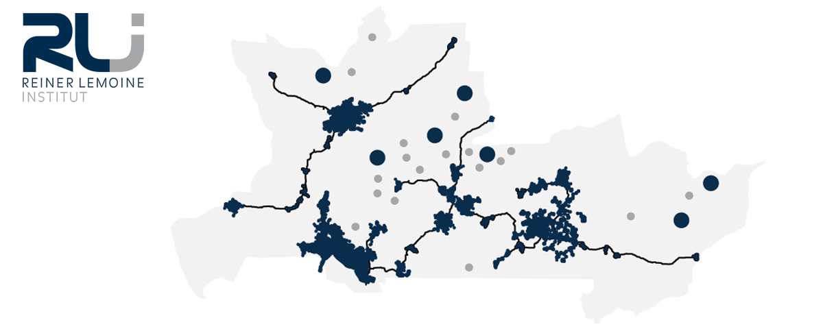
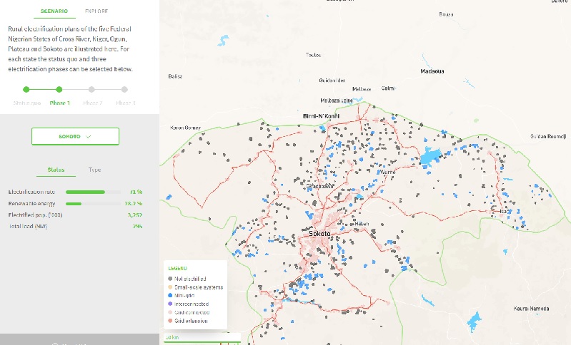
Electrification plans for five Nigerian states were developed within project funded by EU and BMZ “Nigerian Energy Support Programme” (NESP). The different options – grid extension, mini-grids, and small-scale solutions for individual households, such as solar home systems – were modelled in detail using geographic information systems (GIS) and energy simulations. The electrification plans created thus are subdivided into three development phases, providing a structured road-map for the supply of remote regions.
RLI was assigned the task of electrification planning by the Deutsche Gesellschaft für Internationale Zusammenarbeit (GIZ), which advises the Nigerian government on energy infrastructure. The development of a basic supply of electricity was carried out with special regard for the best possible combination of sustainability and economic efficiency. The result is a spatial plan, divided into three phases, which has been visualized using an interactive web mapping tool.
Project duration 01.01.2015 – 30.09.2017
>>>to the web mapping-tool<<<
Photos
-

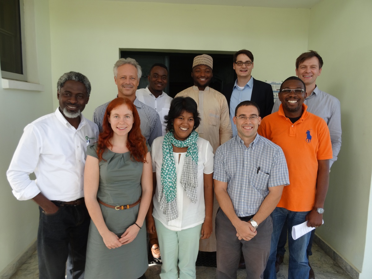
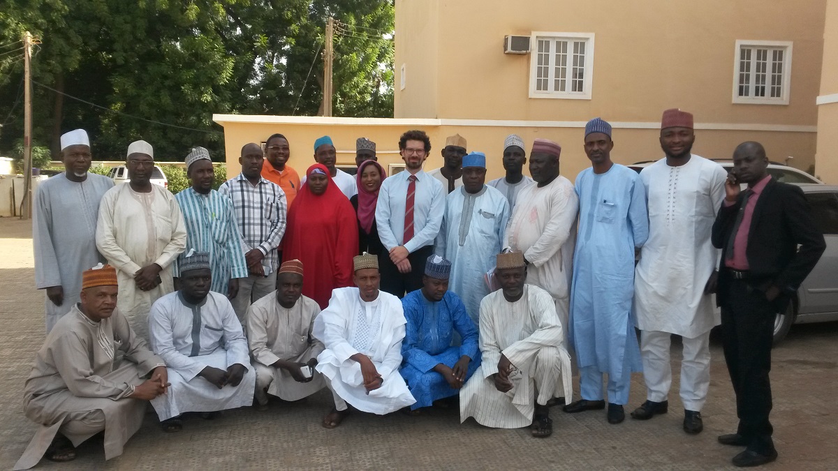
- Experts from the Reiner Lemoine Institut on a working visit with project partners of GIZ in Abuja, Nigeria.
-

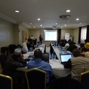
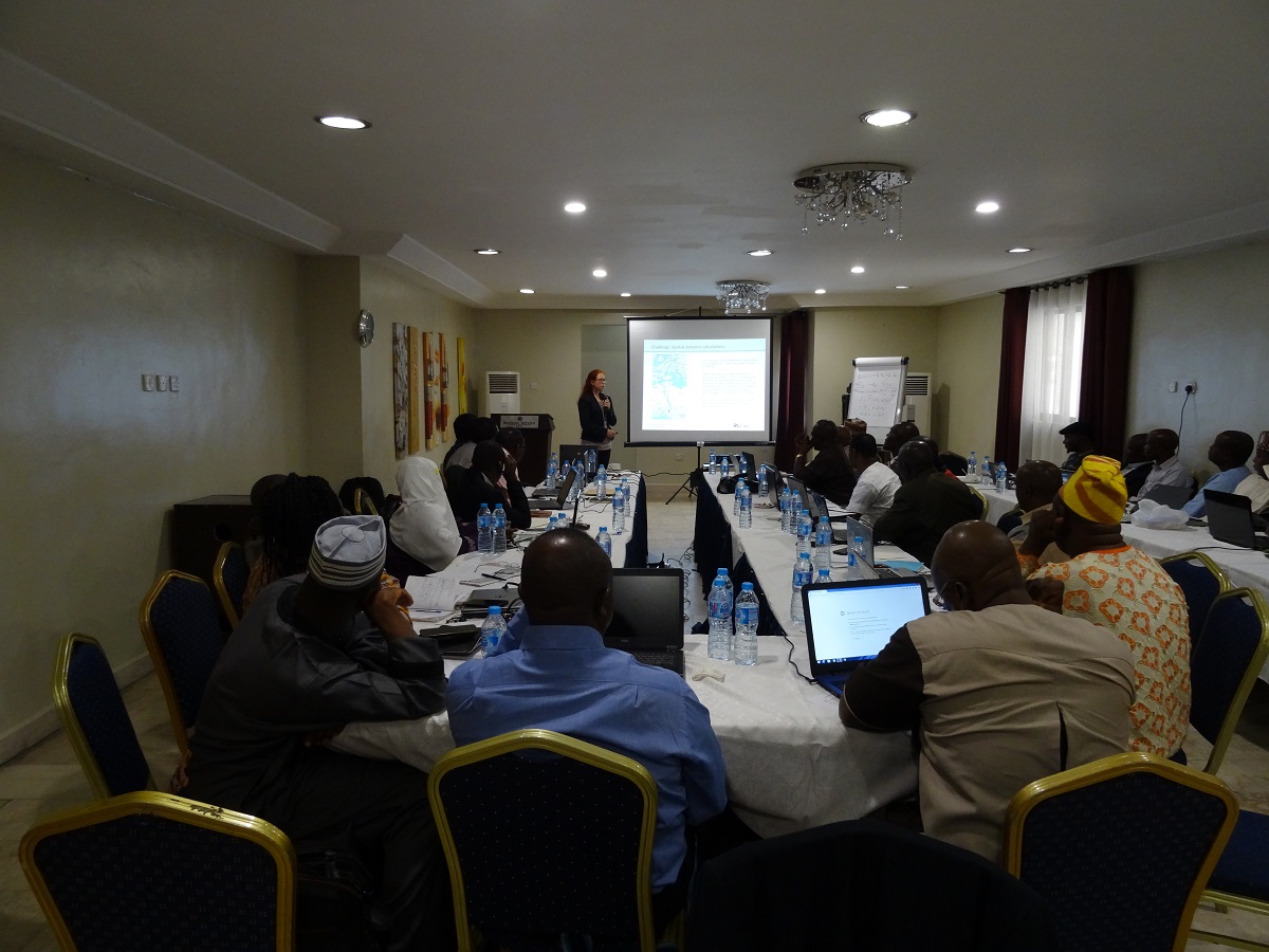
- Workshop on energy systems modelling with participants from the government in Sokoto, Nigeria.
-

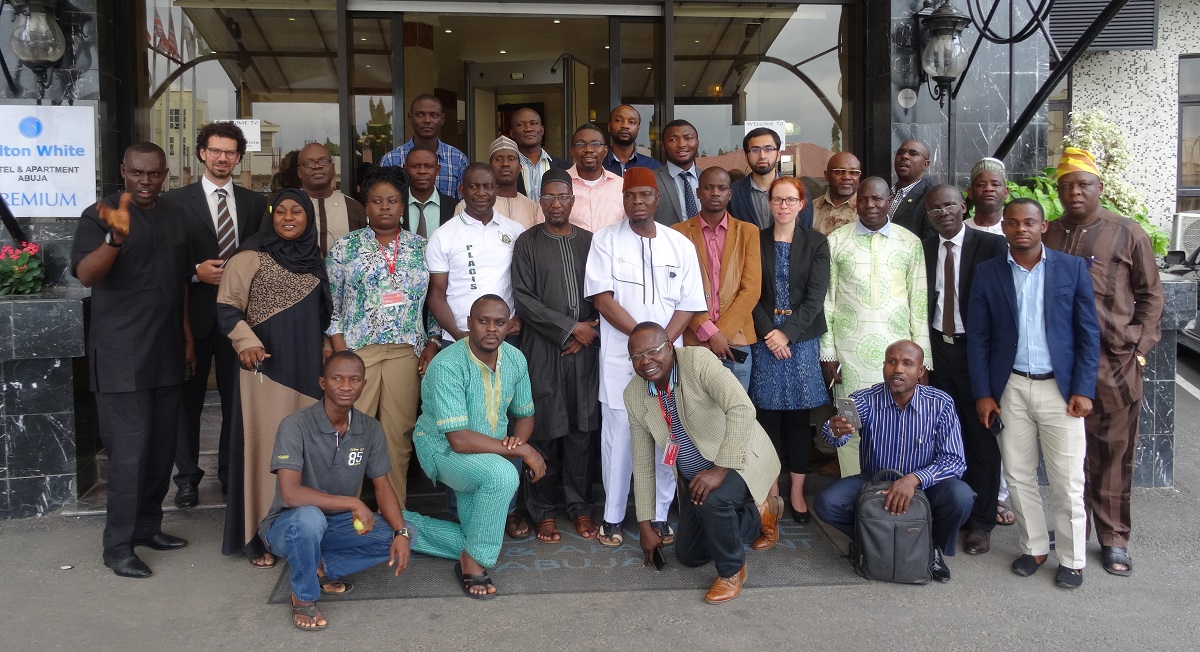
- Workshop on rural electrification planning together with participants form the five states in Abuja, Nigeria.
-

- Workshop in Calabar, Nigeria

-
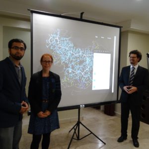
- Presentation of initial results of electrification planning using web mapping visualization, Abuja, Nigeria.

-

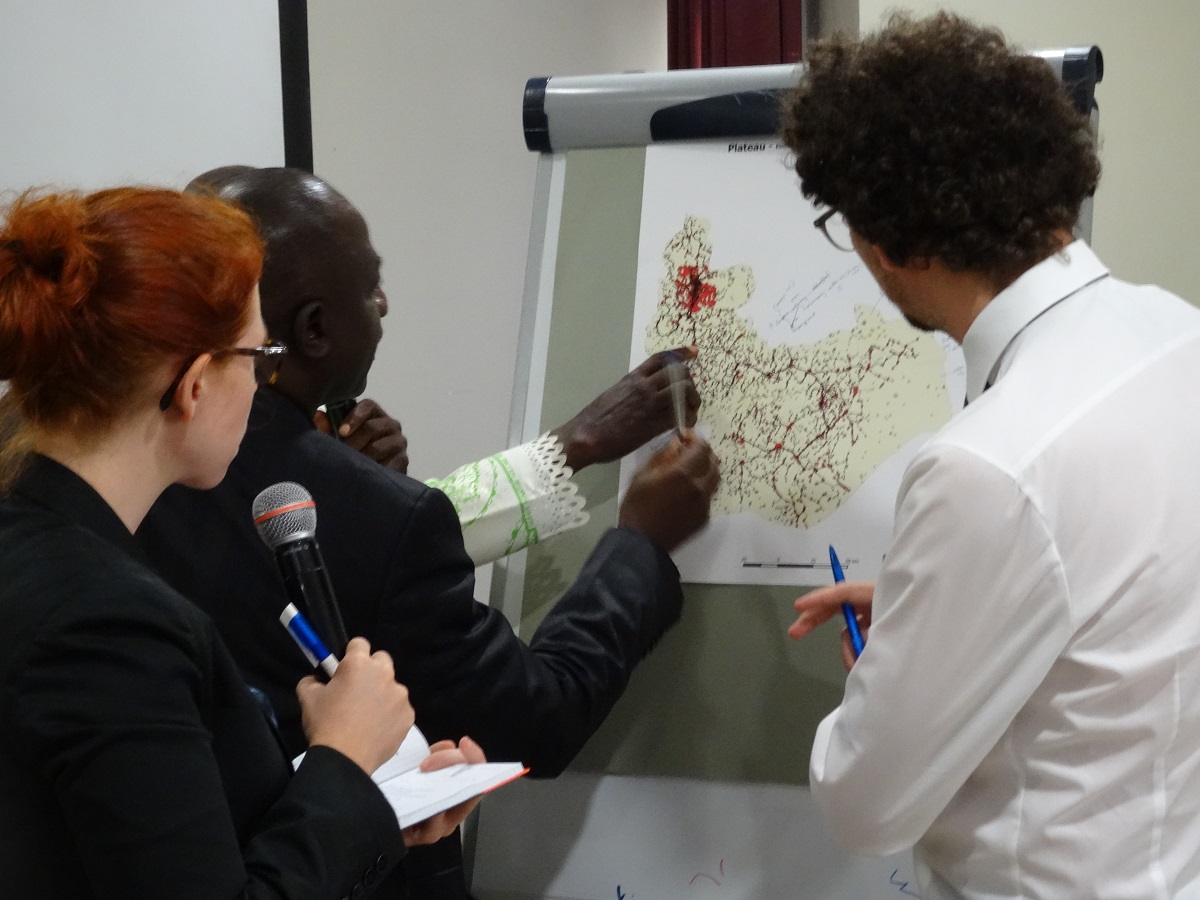
- Interactive discussion and validation of modelling during a workshop in Abuja, Nigeria.
-

- Group discussion on data accuracy and quality of collected data in Abuja, Nigeria.

-
- Workshop on results in Nigeria: Presentation of results to partners from the five states as well as national players from the Nigerian Federal Ministry of Power, Works and Housing and the Department of Renewable and Rural Power Access in Abuja, Nigeria.
RLI assumes the following tasks in this project:
- Definition of regions supplied and not supplied with electricity
- Needs and load estimates for the regions to be supplied with electricity
- Modelling of different options
- Grid extension
- Mini-grids
- Stand-alone systems
- Selection of most cost-efficient options taking into account individual local needs (least-cost planning)
- Development of an extension road-map divided into phases
- Visualization of results in a web mapping tool available online
The main result of the project is an interactively designed spatial electrification plan divided into phases. This plan was developed in close exchange with experts from the different states as well as national players and can be accessed here:
Additional partial results:
Additional partial results:
- A combination of grid extension, autonomous mini-grids for individual villages, and stand-alone systems for the smallest settlements depicts the most economical solution for a fast, nationwide electrification of Nigeria.
- Especially the option of “interconnected mini-grids” plays a major role for a timely realization of the electrification: Mini-grids are suggested for many places, but will only be connected to the overall grid in the further course of electrification.
- Solutions based on renewable energy sources constitute the most economical of decentralized options.
- A strategic electrification plan can help decision-makers identify and implement economic and sustainable solutions.
- The web-visualization of spatial electrification plans provides information to all those who are interested and may therefore encourage discussion and transparency in planning.

Funded by the European Union and the German Federal Ministry for Economic Cooperation and Development (BMZ)

Contact